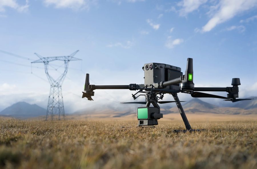
Airborne LiDAR
Laser scanning that penetrates vegetation and maps both natural and built environments — ideal for Western Canada's diverse terrain and for corridors that are slow or unsafe to walk.
- Centimetre-level vertical accuracy
- Classified point clouds, DTM and DSM
- Transmission & distribution corridors
- Transport Canada RPAS compliant operations
LiDAR In Depth →
Aerial Imagery
High-resolution orthomosaics and oblique imagery for progress documentation, planning, and public-facing communication — captured on the same flight as your LiDAR where it makes sense.
- Georeferenced orthomosaics
- Progress and milestone documentation
- Photogrammetric surface models
- Oblique and site-context imagery
Bathymetric Surveys
Underwater terrain mapping for reservoirs, ponds, and waterways — supporting storage-capacity reporting, sediment management, and regulatory submissions.
- Reservoir capacity & sediment studies
- Pond and settling basin volumes
- Waterway and shoreline mapping
- Integrated above/below water models
High-Definition Laser Scanning
Terrestrial scanning for as-builts, facility capture, and retrofit engineering — millimetre-level detail where design tolerances are tight and existing conditions are uncertain.
- Facility and plant as-builts
- Retrofit and clash-detection support
- Structural and heritage documentation
- Registered point clouds & 2D/3D deliverables