Services/Transportation & Infrastructure

Transportation &
infrastructure

At Envision Geo, we specialize in accurate and precise surveying solutions for the transportation and infrastructure sector. From the earliest planning stages through final construction and beyond, our team supports the successful delivery of roads, highways, bridges, and transit systems.

Transportation Surveying

Our transportation survey services

Grouped by project stage — control and legal work up front, design and construction support through the build, and monitoring once it's open.

Control & Legal

  • High-accuracy survey control networks
  • Legal boundary and cadastral surveys
  • Land tenure and ownership reviews

Design & Pre-Construction

  • Topographic mapping and terrain modeling
  • Engineering and design surveys
  • Aerial corridor mapping with LiDAR and orthophotography
  • Mobile and static LiDAR scanning
  • 3D scanning of highways, bridges, and structures

Construction

  • Construction staking, including utilities, grading, and structure layout
  • Earthwork quantity calculations
  • QA/QC survey verification and support

Post-Construction & Monitoring

  • As-built surveys for record drawings
  • Structural and ground deformation monitoring
  • Environmental survey assistance

Experience

More than 80 combined years in the sector


Our surveyors bring more than 80 years of combined hands-on experience in the transportation sector — the technical skill and project insight needed to keep your work on schedule and on target.

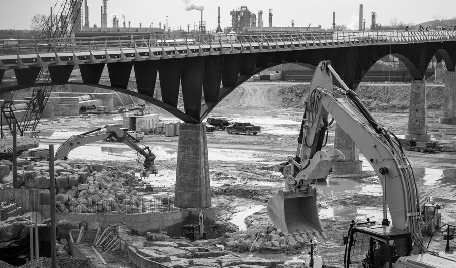
Bridge under construction over a river crossing, with excavators working on the pier foundations below
View All Services

Let's talk about your project

Send plans, drawings, or scope documents and we'll turn them around fast.